


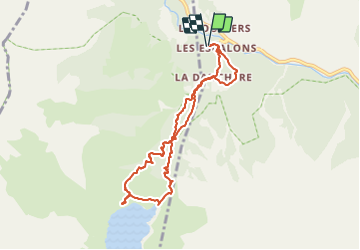

13.8 km | 24 km-effort

User


FREE GPS app for hiking
 SityTrail
IGN / Geographical institutes
SityTrail World
The world is yours!
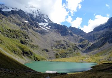
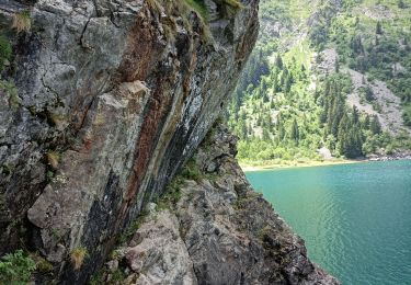
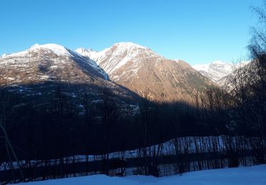
Trail Walking of 8.5 km to be discovered at Auvergne-Rhône-Alpes, Isère, Les Deux Alpes. This trail is proposed by GGsavoie.
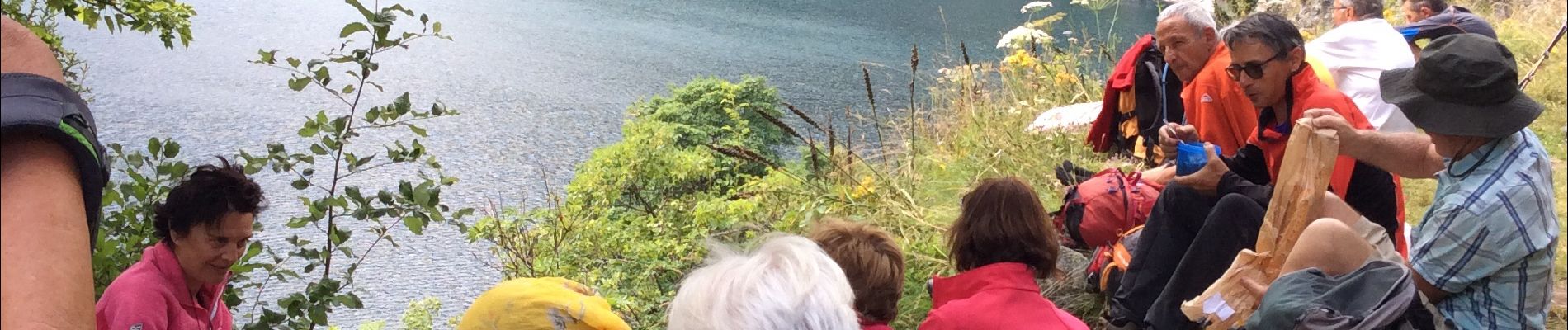
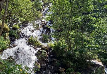
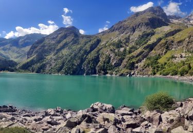
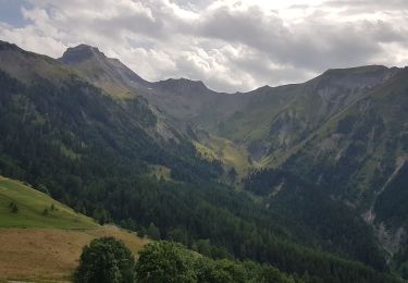
Belle balade et beau lac de montagne. Montée soutenue. Sentier bien entretenu

Walking
Walking

Walking
Walking
Walking
Walking
Walking
Touring skiing
Walking